Humanity's Ancient Art
Humans began mapping the world around us approximately eighteen thousand years ago and ultimately this is one of humanity's ancient arts; first mapping the stars, then the local area and eventually progressing to global maps. Over recent years, maps of the earth have proved a complex puzzle due to the difficulties in mapping a spherical planet onto a 2D paper surface. Computers have now simplified this by enabling us to store and analyse huge amounts of data, whilst visualising highly precise data in a multitude of dimensions. These systems are known as geographic information systems (GIS).
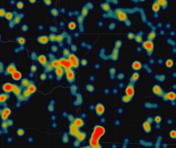
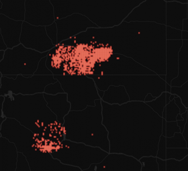
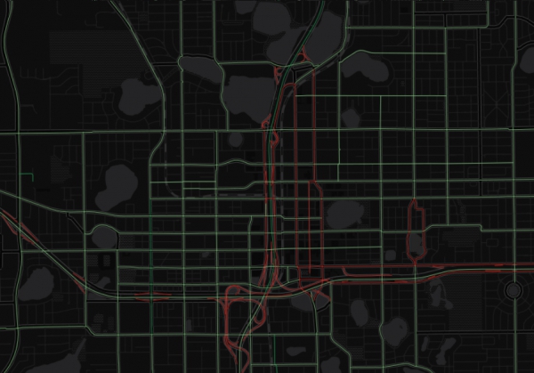
GIS is increasingly being adopted by organisations to store and analyse location specific data, from simple navigational mapping to complex weather models utilising live data feeds. These systems can be extremely powerful and can offer your organisation three key benefits:
Cost Savings Through Efficiency
Better Decision Making
Improved Communications
Who we are
A Specialist GIS Team
GIS BYTES is a unique team of developers, scientists, analysts and data collection professionals with considerable knowledge of the GIS industry. We incorporate proven project management techniques to ensure our software development, data collection and analysis projects are efficient, competitive and delivered on time.
It is the mission of GIS BYTES to utilise advances in computing, mathematics and science to solve simple and complex problems, exceed client expectations and deliver modern, cutting edge geographic information systems.
Learn More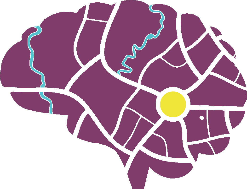
Solving problems is in our nature, we are relentless, it’s our pleasure, we were born to do it.